Navigation in Dubai UAE
Many ships and boats ply the waterways of the world and all of them are controlled by naval fleets. It is almost impossible to find any large boat or ship that is not equipped with a GPS navigation system. The reason for the importance of using GPS and navigation system in ships and boats is related to the high volume of commercial transactions and sea transportation of large and small cargoes. In the continuation of this article, we are going to fully explain what is a boat and ship tracker and what is the use of the Navigation in Dubai UAE tool?
Navigation in Dubai is a reliable way to determine the position of a ship, plane or other vehicle that is guided to a specific destination with the help of navigation science. Sailors and pilots are able to determine their relative position using navigational instruments. They can also measure the position of their vehicle relative to other known locations. Suppose you are standing near position A (Burj Khalifa, Dubai) and your friend is at position B. When you want to give your friend an address, you will tell him/her that you are near Burj Khalifa so that you can tell him your location through a known place.
Navigation tools express the distance between two points in degrees. So measuring latitude and longitude is very important in navigation. Latitude is a north-south position based on the Earth's equator, and longitude is an east-west position measured from the prime meridian.
The most important applications of navigation tools
The five main uses of navigation tools in Uae are as follows:
1. Determining the location
Determining the location is very important for sailors, pilots and ground police. Determining the correct location helps us to be more successful in missions and inform our position accurately. Navigation in UAE helps us to know our exact location.
2. Navigation
Another task of navigation tools is to steer ships and planes from one place to another. Especially if we are in an unfamiliar area and have trouble finding places. Navigation in the UAE are tools that help us reach our destination.
3. Tracking
In many military missions and police operations, it is necessary to monitor the movement of vehicles. In these situations navigation tools help the police and show the exact location of the person or object.
4. Mapping
Mapping is another application of navigation tools. For this purpose, the navigation tool flies in the sky of a certain area and the mapping operation starts from that area. Navigation offshore in Dubai are tools that help us in aerial mapping.
5. Timing
Time is one of the most important parameters in the implementation of a military operation. If we want to get the position of a vehicle at different times, we need to use navigation tools. This tool helps you measure the exact time.
Advantages of using navigation tools
• Orientation
• Low costs
• high security
• Easy to use
• Close monitoring of the target subject
• Local search
• Warning during traffic or weather changes
• Use of satellite internet
• Can be used in all places
• Ability to update
• Supervision of sports competitions
• Flexible navigation
• Military use
• Mapping
• The emergence of people under the rubble
All kinds of navigation tools in the Dubai Marine store
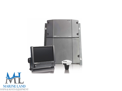
- Sailor 6280 ais
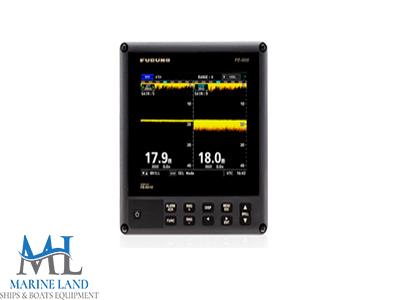
- FE 800 Echosounder
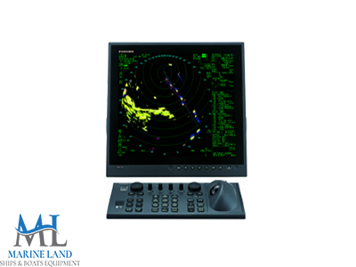
- Far 22*8 series marine radar
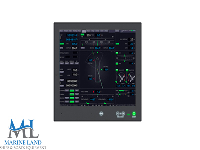
- Dpt-4500 dp system
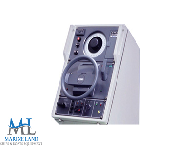
- Pr 2000 autopilot
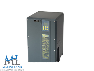
- Navigat 100 gyro compass

